BSHAPE
The software was created to respond to the need to analyze, compare, and innovatively manage bathymetric data acquired in HD in the river and marine environment
Integrated data in a single digital environment
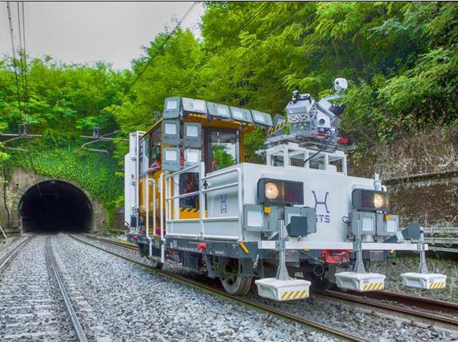
By combining Otter Unmanned Surface Vehicle (USV) with Bulti-beam Sonar WBMS Norbit for a bathymetry survey and integrating the data obtained with a topographic survey, we obtain a 3D reconstruction of both the surface above the sea and below the sea. The acquired data is used for study, material characterization, and design solutions to strengthen the infrastructure and mitigate the erosion effect near the line. All acquired data, engineering a geological analysis are integrated into our innovative B-SHAPE software.
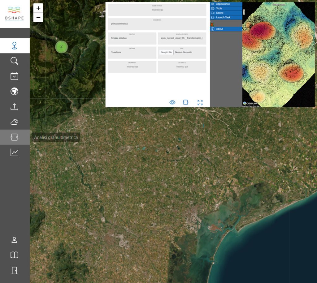
A single digital environment in which to browse, share, and compare historically indexed point clouds and the results of different analysis.
Technology mix at the service of engineering
Technological instrumentation allows the acquisition of important information to be entered into BSHAPE, relating to the characterization of riverbed material, the identification of specific morphologies, as well as abandoned structures and submerged objects. The continuous description of the cross-section is useful for hydraulic modeling, rather than the evolution of the riverbed through repeated surveys, strategic for sediment transport studies
Technology at the service of design
The geometric characterization of riverbed material is very important for riverbed management: it allows the description of bed load and hydrodynamic parameters such as roughness. The definition of sea/riverbed material is also strategic in the design of coastal infrastructure.
BSHAPE processes high-resolution digital surface models obtained through multi-beam technology. The software allows both the extraction of the particle size distribution and a shapefile containing the geometric description of the sedimentary material.
Data becomes information
Bathymetric data become information at the service of engineering, useful for obtaining granulometric information on riverbed material, and identification of specific morphologies and submerged structures, starting from 3D reconstruction of the seabed surface.